Satellite image of the disputed India-China frontier high in the Karakoram mountains shows that both countries have stepped up construction activity on their side. Tensions have soared since a deadly clash in the area left 20 Indian soldiers dead.
The images appeared to show that India had built a wall on its side and the Chinese expanded an outpost at the end of a long road connected to Chinese military bases way from the disputed border, experts said.
Images released this week by Maxar, a Colorado-based satellite imagery company, show new construction activity along the Galwan Valley even as military commanders of both countries said they agreed to disengage from the standoff.
China has said that India changed the status quo last August when it split the state of Jammu & Kashmir into two Union territories _ the territory of Jammu & Kashmir and the territory of Ladakh, parts of which are contested by China.
New maps released by India following that decision last August drew criticism from Beijing because they showed Aksai Chin, an area occupied by Pakistan and subsequently ceded to China, as part of Ladakh.
[splco_spacer]

[splco_spacer]
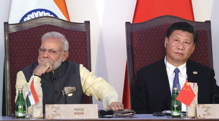
India and China have agreed to hold weekly talks in the Working Mechanism for Consultation and Coordination (WMCC) meeting to resolve the ongoing dispute in Eastern Ladakh after the People’s Liberation Army (PLA) amassed over 10,000 troops along the Line of Actual Control (LAC) there.
Opposition allege in between Feb to June 2020 more than 5000 Sqkm of indian soil been squared to China by Ruling BJP led Modi government
Top government sources confirmed that India and china have decided hold talks at the WMCC meeting, like the one that was held through video conferencing last week and was headed by an official from the Ministry of External Affairs.
The talks with the Chinese side will help in further disengagement and de-escalation of the situation along the borders with China, the sources said.
[splco_spacer]

satellite images taken on May 22, 2020 (left) and June 23 Maxar Technologies shows construction in the Galwan river valley near the Line of Actual Control between India and China that confirms mounting of troops by China
[splco_spacer]
India and China have been locked in a dispute over the boundary issues following Chinese incursion at multiple locations including the Galwan valley, where they were involved in a violent face-off which resulted in death of 20 Indian army soldiers and more than 50 found with major injuries
Sources said that the Chinese, during the talks, had come up with maps of 1959 and 1960 to suggest that the LAC should be aligned between the two countries on the basis of those.
During the talks, the Chinese also tried to squarely blame India by suggesting that Beijing had sorted out its disputes with four countries with whom it shares land borders but it has had problems in doing so with India. The charge was plainly rejected by the Indian side, sources said.
[splco_spacer]

Opposition party congress question despite multiple visit and 18 meetings with china , reason of stand off unexplained
[splco_spacer]
The Indian side also rejected the Chinese allegations wherein it tried to use the Nepal-India issue over Kalapani area saying that India was indulging in an expansionist policy and told its officials about the Chineses designs in Ladakh and many other countries with which it is facing issues.
[splco_spacer]


