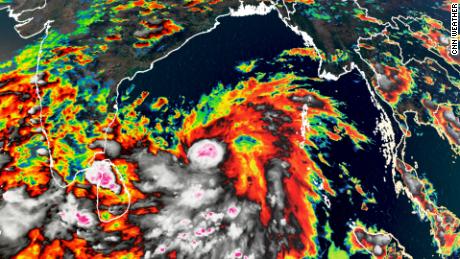
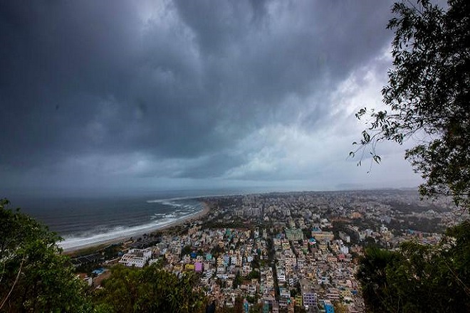
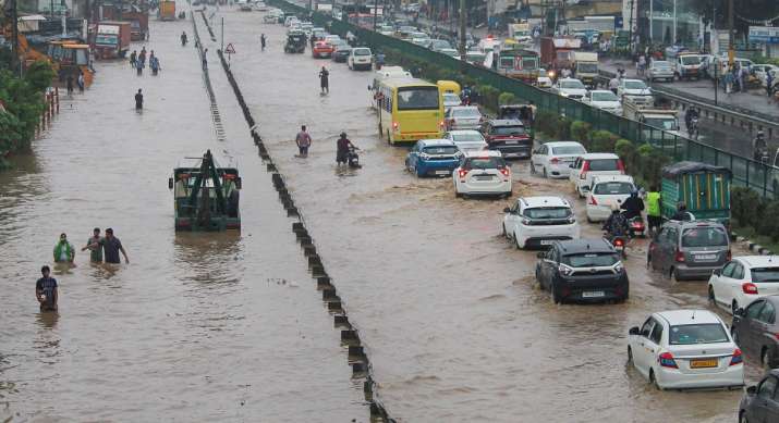
[splco_heading size=”15″ align=”left” margin=”30″]Indian Meteorological Department (IMD) said that over the next 12 hours, it will further intensify into a severe cyclonic storm. With the cyclonic system evolving from ‘Depression’ to ‘Deep depression’ and then into the ‘Cyclonic storm’ category and as per the current forecasts from the IMD, the storm would move northwestwards (towards India) till Sunday and recurve north-northeastwards after that. In this case, the impact would be minimal for the Andhra Pradesh and Odisha coast, except for rough sea conditions and possible heavy rain spells. [/splco_heading]
The maximum impact could be for West Bengal and Bangladesh coasts, as the storm approaches these regions.
Indian Meteorological Department (IMD) has said that over the next 12 hours, it will further intensify into a severe cyclonic storm.
The cyclonic system is centered around 1100 km south of Paradip off Odisha coast, 1250 km south of Digha, and 1330 km south-southwest of Khepupara off Bangladesh coast.
“It is very likely to intensify further into a Severe Cyclonic Storm during the next 12 hours and into a Very Severe Cyclonic Storm by 18th morning. Wind speeds gusting up to 100 kmph are forecast over west-central and east-central Bay of Bengal on Monday.
The maximum sustained wind speed of the cyclonic storm is likely to reach up to 160 kmph by Tuesday night. If the storm approaches the coast at this intensity, severe damage can be expected across the coastal region.
It is very likely to move north-northwestwards initially till 17th May and then re-curve north-northeastwards across northwest Bay of Bengal towards West Bengal and adjoining north Odisha coasts during 18th to 20th May 2020,” the IMD bulletin said.
The weather office had dispatched an alert on the brewing storm, Cyclone Amphan, to the National Disaster Response Force and the chief secretaries of eight states and Union Territories on May 14.
According to the latest updates, the West Bengal state government has requisitioned two NDRF teams to be deployed at two locations in the state in the wake of the Cyclone Amphan.
One team will be deployed at Sagar Island while the other will be at Kakdwip. Both teams will be deployed by this evening.
[splco_spacer size=”30″]

[splco_spacer size=”30″]
The state government will seek further teams after the met office shares information on the landfall in the subsequent 24 hours.
The sea condition is likely to be very rough and alerts have been issued to fishermen to not venture into the waters off Andhra coast and Odisha-West Bengal coasts from May 18 onwards. Those who are out at sea are advised to return to casts by May 17.
While Andaman and Nicobar Islands are likely to receive light to moderate rainfall on May 15 and 16, Odisha and West Bengal are likely to receive light to moderate rainfall on May 18 with heavy rains and very heavy rainfall on May 19 and May 20.
Fishermen have been advised not to venture into the west-central BoB off the north Andhra Pradesh coast on the 18th and into the north BoB along and off the Odisha-West Bengal coasts from 18th May 2020 onwards.
Those who are out at sea over these regions have been advised to return to coasts by 17th May.
The name Amphan is suggested by Thailand and will be the last name from the original list of 64 cyclone names proposed back in September 2004 for storms over the north Indian Ocean.
The WMO guidelines stipulate that the countries in the region must name storms in any ocean basin. For the northern Indian Ocean, now thirteen countries suggest the names. The IMD’s regional specialised meteorological centre (RSMC) in New Delhi monitors the cyclogenesis, issues advisories and names the cyclones.


