August 5 2020 is the first anniversary of the revocation of Jammu and Kashmir’s special status, that is the day BJP party run Modi led Indian government that removed article 370 with out obtaining any plebiscite from kashmir people
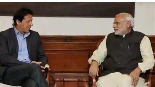
Imran Khan government used this day and released a new bomb shell by way of a new political map of Pakistan showing the entire erstwhile state, now organized into two Union Territories, in Pakistan.
BJP led party run Modi led Indian Government that is already facing similar problem from Nepal on its east side now faces another same problem from west side but this time from its bitter long standing enemy Pakistan
BJP party led Hindutva policy run Modi’s center government has a reason to abhor the choice of this date ..Where it planned to put bhoomi puja for Construction of Ram temple in ayodhya ..
As when reports emerged that during excavation of land for temple construction, Buddha temple statues and pillars were excavated at the place of ram construction and adding to this the friendly neighbor country Nepal also claimed that Ram belongs to Nepal and the ayodhya where Ram born is situated in Nepal only .. Nepal PM Oli has given proofs from Ramayana literature where the Sarayu river situated matches the coordinates as mentioned in Ramayana which was written by Sage Valmiki
Angered by turn of events on both east and west side now Indian government run by Modi reacted quickly and called it an “exercise in political absurdity”, which only confirmed the reality of Pakistan’s obsession with “territorial aggrandizement” supported by cross-border terrorism.
“We have seen a so-called ‘political map’ of Pakistan that has been released by PM Imran Khan. This is an exercise in political absurdity, laying untenable claims to territories in the Indian state of Gujarat and our Union Territories of Jammu and Kashmir and of Ladakh,” the government said in a statement, adding that these ridiculous assertions had neither legal validity nor international credibility.
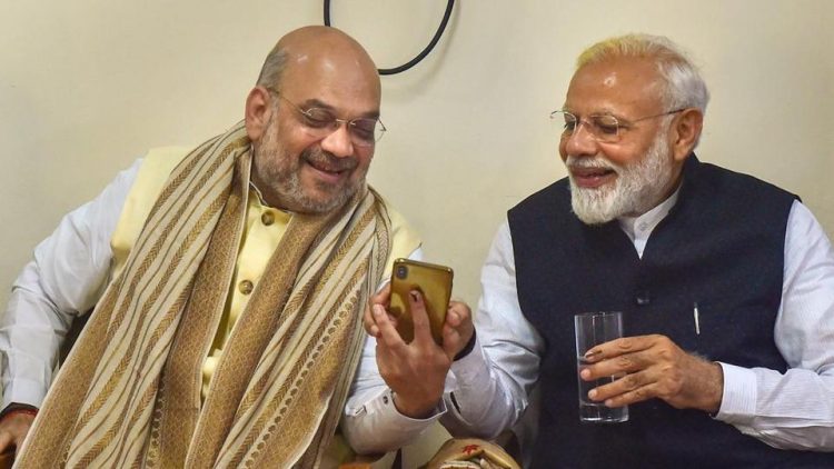
Pakistan’s new “official map” also included Junagadh and Manavadar in Gujarat . Gujarat is the home state of Indian Prime MIinsiter Modi and Indian Home Minister Amit Shah
“The new map has only brought to the fore the contradiction in Pakistan’s position, between calling Kashmir an unfinished agenda of partition and its right to self-determination rhetoric,” TCA Raghavan, former diplomat who served as India’s high commissioner to Pakistan, said.
“The (Pakistani) government has to show that it’s moving mountains on the first anniversary of the reorganisation of Jammu and Kashmir. It also has to do with their domestic issues,” he added, while calling it another case of misguided aspirations.
Leaving the frontier “undefined” on the Ladakh border with China in the new map, while describing J&K as disputed territory, Islamabad said the final status would be decided in line with “relevant” UNSC resolutions. It also showed Siachen in Pakistan.
Ensuring ambiguity by leaving the frontier undefined in the map, Pakistan said the actual boundary in the region would “ultimately be decided by the sovereign authorities concerned after the settlement of the Jammu and Kashmir dispute”.
[splco_spacer]

[splco_spacer]
Imran Khan was quoted as saying in the evening, as he unveiled the map, that the federal cabinet had approved the map on Tuesday and it was now going to be used in schools and colleges.
“We will do political struggle, we don’t believe in military solutions. We will remind the UN again and again that you had made a promise (to the people of Kashmir) which you did not fulfil,” the Pakistani PM said, adding that the map reflected the aspirations of the people.
According to Pakistani foreign minister Shah Mahmood Qureshi, the map made it clear that Siachen belonged to Pakistan and that it also rejected India’s claims on Sir Creek.
“We have said that our border is towards the eastern bank, India had claimed that it goes towards the west,” Qureshi said, accusing India of capturing Pakistan’s exclusive economic zones.

